29. July 2026
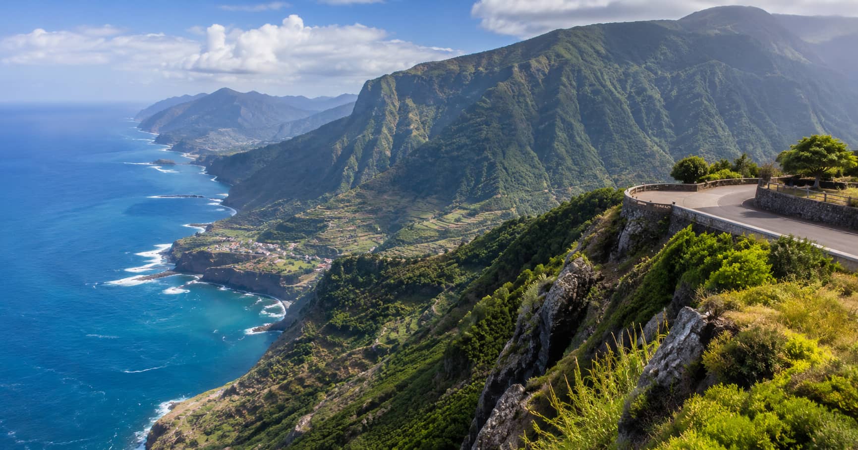
Madeira Viewpoints Road Trip
A flexible Madeira road trip linking coastal overlooks, mountain viewpoints, forest stops, and short walks while accounting for changing island weather.
Read the guide →PanoramaExplorer.com helps you choose scenic viewpoints, photo spots, walking routes, and road-trip stops with clear notes on access, timing, light, and realistic route planning.
A flexible Madeira road trip linking coastal overlooks, mountain viewpoints, forest stops, and short walks while accounting for changing island weather.
Read the guide →Practical articles for finding strong views, useful photo angles, and routes that work in real conditions.
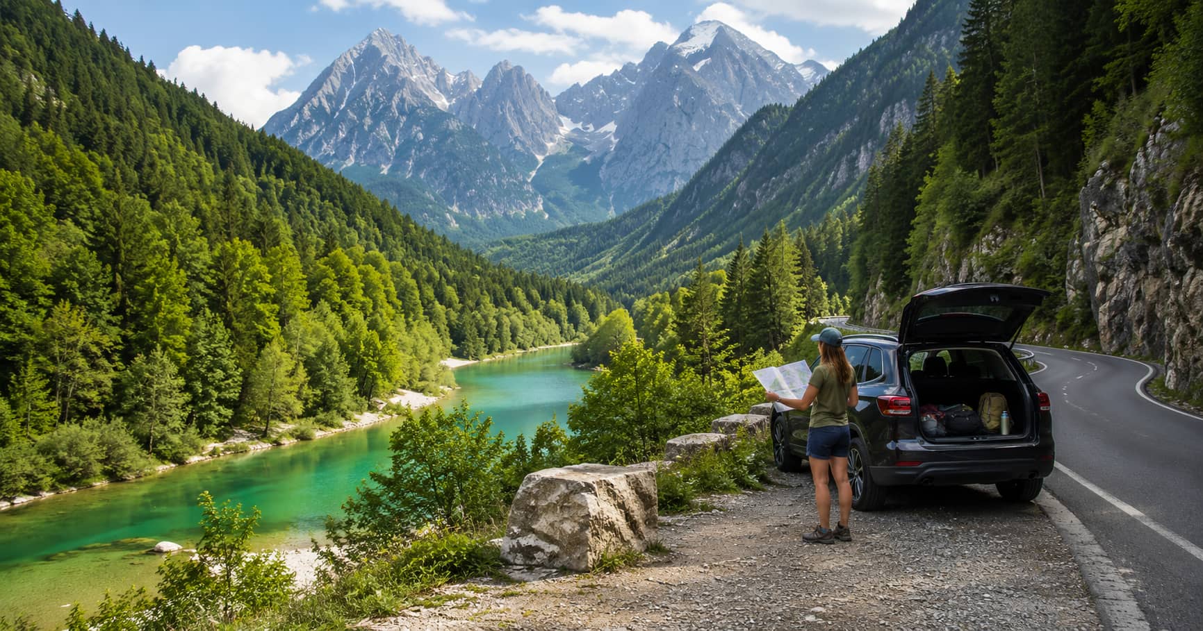
A scenic driving route through the Julian Alps, connecting mountain passes, lakes, valleys, roadside viewpoints, and practical short stops.
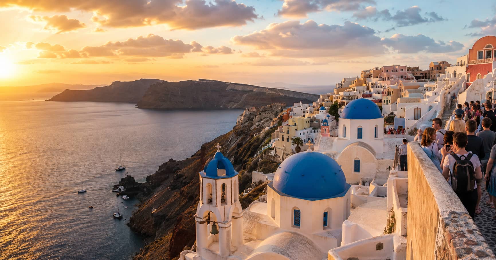
A realistic guide to Santorini viewpoints, comparing famous sunset locations, quieter alternatives, crowd pressure, access, and the best visiting times.
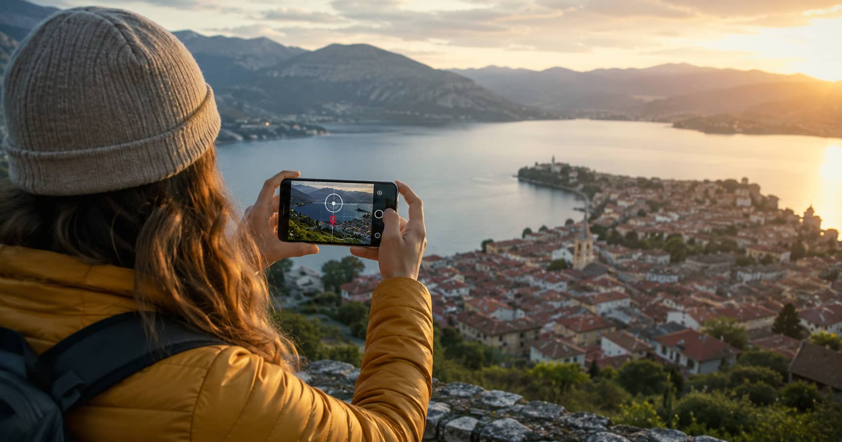
A practical guide to geotagged photography, including how location data is added to images and used in maps, navigation, and photo organization.
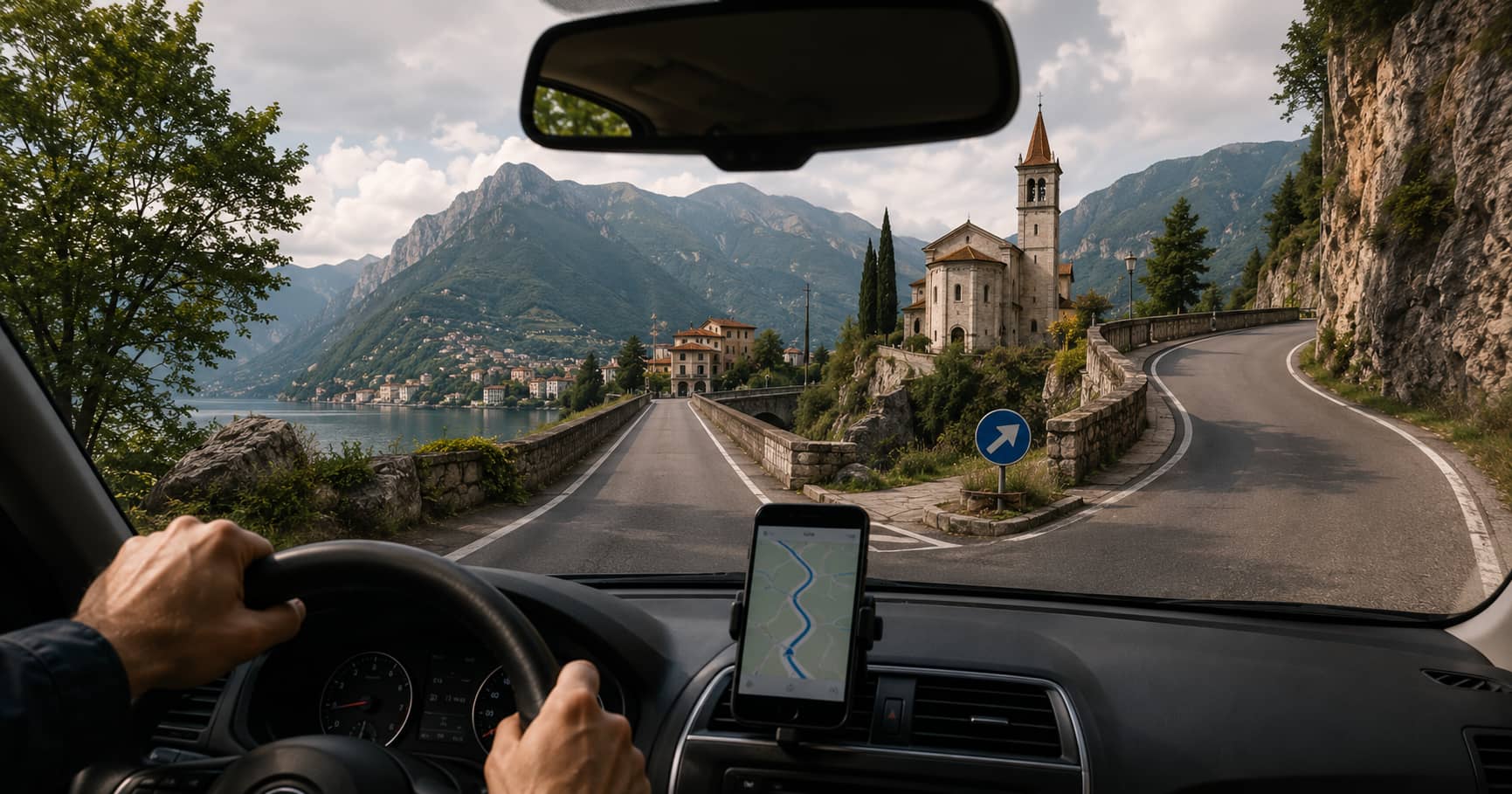
Learn how navigation systems use photography, panoramic imagery, geolocation data, and visual landmarks to make routes easier to understand.
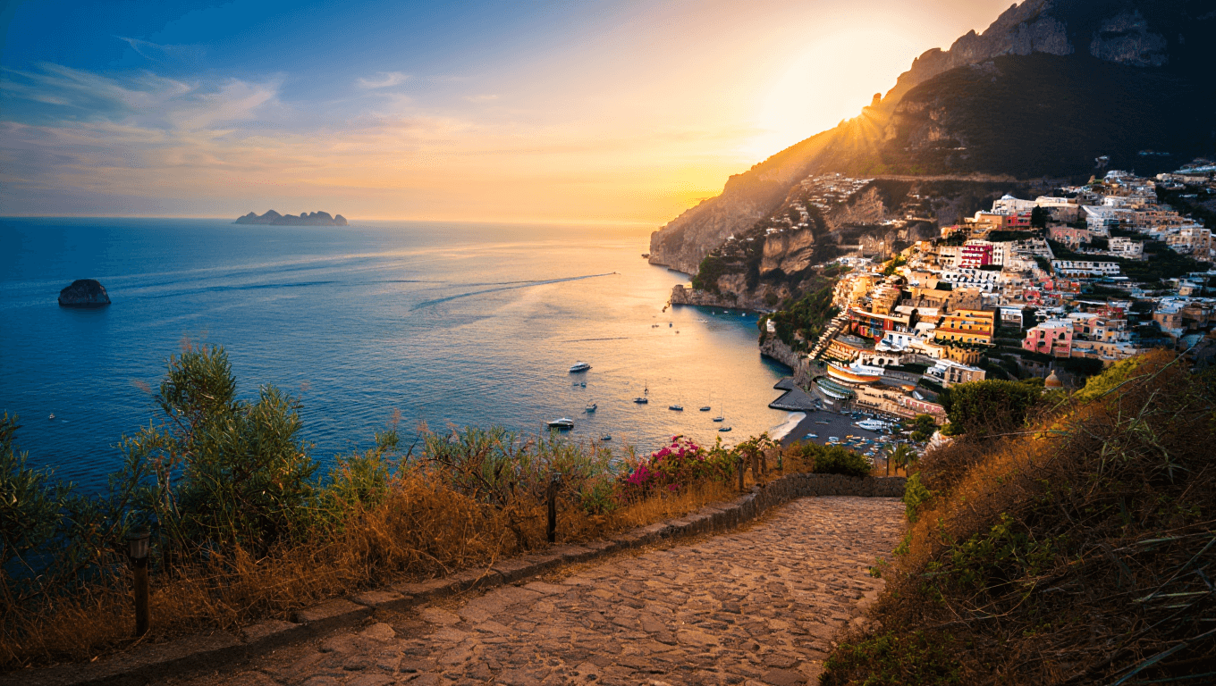
A summer route through the Amalfi Coast focused on coastal viewpoints, road access, village stops, changing light, and practical timing.
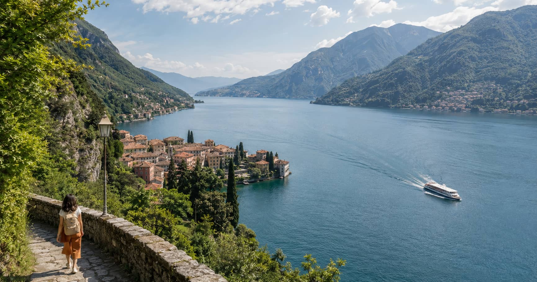
A car-free Lake Como guide using trains, ferries, village paths, and short climbs to reach rewarding lake and mountain viewpoints.
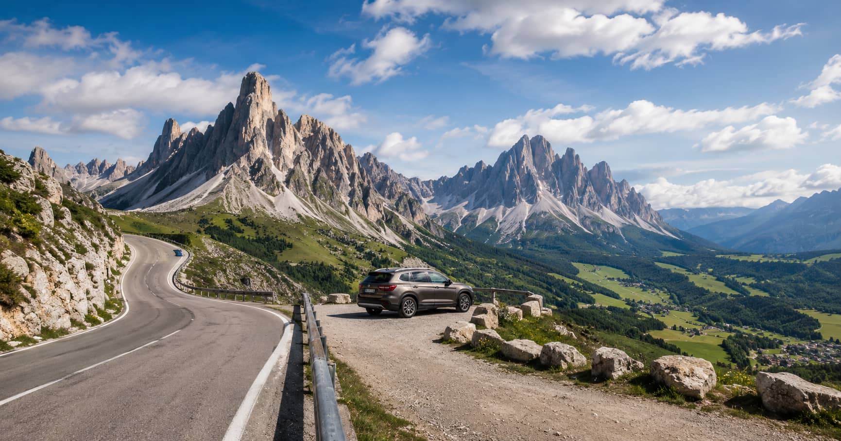
An accessible Dolomites road-trip guide featuring dramatic mountain viewpoints, short walks, practical parking stops, and route-planning advice.
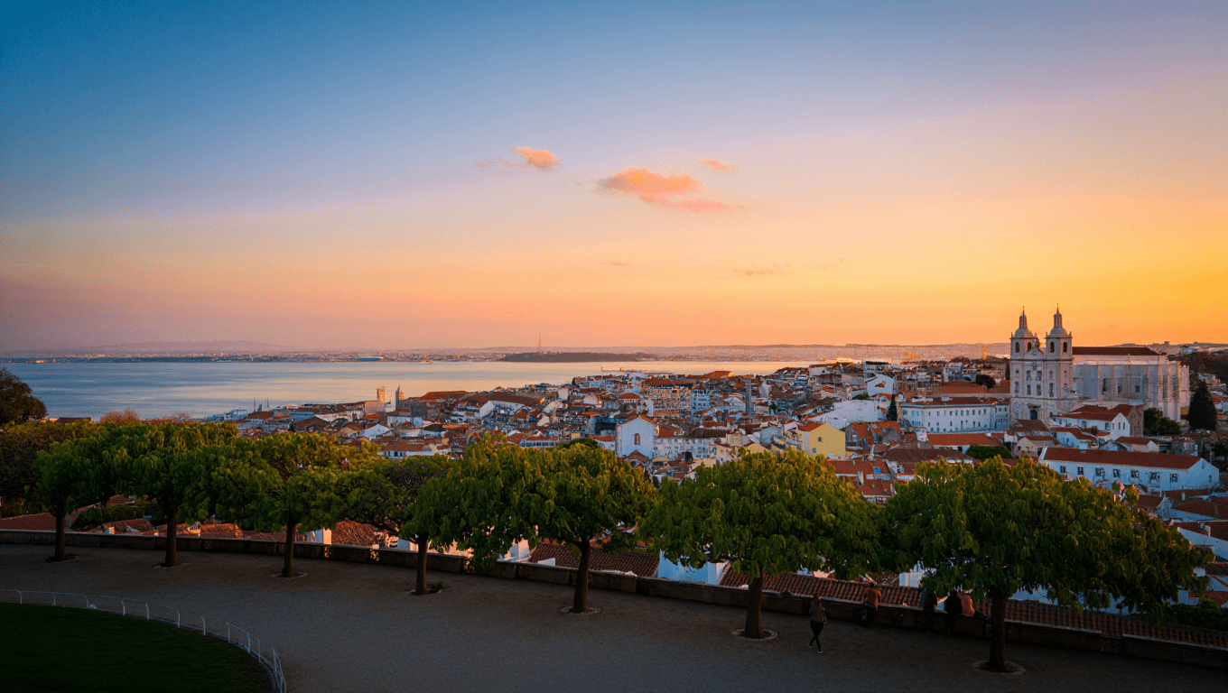
A practical guide to Lisbon viewpoints, with advice on light direction, steep streets, river views, crowd levels, and logical walking routes.
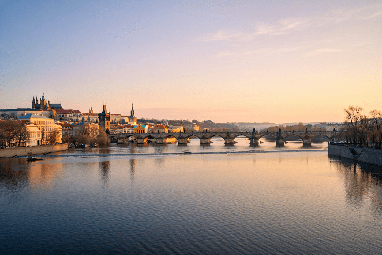
A scenic Prague walking route connecting hilltop viewpoints, river panoramas, historic rooftops, and useful stops for photographing the city.
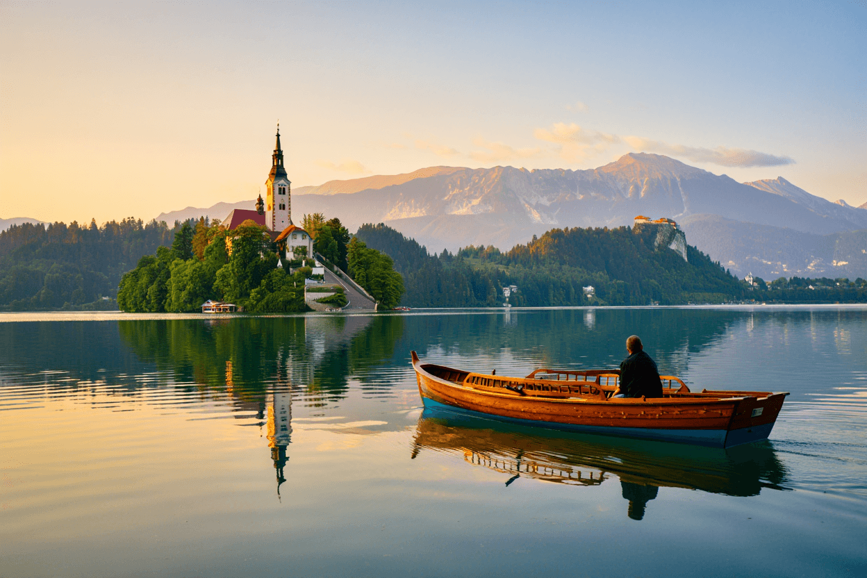
A spring photography guide to Lake Bled, with practical notes on shoreline angles, elevated viewpoints, morning light, walking distances, and seasonal conditions.
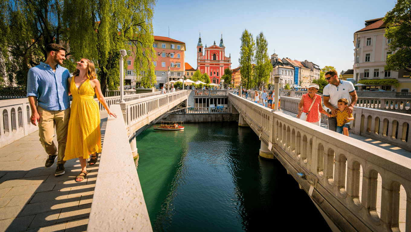
A practical guide to Ljubljana viewpoints, covering castle panoramas, riverside perspectives, walking access, timing, and the best light for city photography.
Guides focus on what you will see, how the place is reached, and when the viewpoint makes sense.
Articles consider light, weather exposure, crowds, and practical timing for stronger visual results.
Routes are shaped around access, nearby stops, walking distance, and realistic travel flow.